Land at Brookwood Lye Road
- Client Name
- Wienerberger Limited
- Location
- Surrey, UK

Challenge
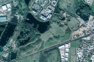
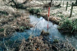
An initial review of the site indicated it was partially at risk of flooding from a local watercourse, the Hoe Stream. However, the available mapping was not sufficiently accurate upon which to base a flood risk assessment for the proposed residential development comprising some 128 dwellings and 19 Gypsy and Traveller Pitches.
Solution
SLR therefore completed a detailed linked 1D-2D hydraulic model of the watercourse that was reviewed and approved by the Environment Agency which demonstrated the site was not at risk of fluvial flooding. Importantly, this meant that neither the Sequential, nor the Exception Tests had to be applied to the development.
SLR also completed the design of a sustainable surface water drainage scheme with attenuated runoff discharged to the public sewer. A site investigation indicated that soakaways would not be suitable for the disposal of runoff.
The attenuation pond serving the site was designed in conjunction with our in-house ecologists and landscape architects to ensure it met habitat and amenity objectives.
The foul and surface water drainage scheme was completed in conjunction with the estate road alignment design within the integrated Civils3D design environment.
SLR also completed the topographic site survey, ecological site surveys and landscape design to support the planning application.

