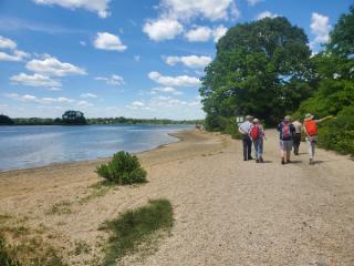
Formulating a Site Plan to Support the Ecology and Management Needs of the Bluff Point Properties, in Groton CT
Read more
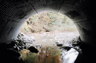
The State of Massachusetts Department of Transportation (DOT) manages thousands of culverts across the Commonwealth. These crossings between roads and streams are vital for public and environmental safety. Culverts keep roads clear of floods and guide natural water systems around man-made infrastructure. These assets require dedicated maintenance to function properly.
The DOT needed to screen and assess culverts with a cost effective, yet comprehensive approach.
Remote sensing technologies were a prime solution, allowing our team to combine many levels of data and take a fluvial-geomorphological approach. Through this asset management approach, the team captured data about each stream’s power, bed and bank resistance, the width of the stream, and the culvert it passes through. These variables were combined to develop a risk profile for each culvert. Then the team incorporated precipitation projections from The Resilient MA Programme to create a vulnerability index.
The project concluded with a risk assessment for each culvert maintained by the DOT. Over 350 culverts were designated with a high vulnerability factor, allowing the state to focus its time and resources where they were needed the most.