Holyoke impervious surface mitigation plan
- Client Name
- City of Holyoke
- Location
- Massachusetts, USA

Challenge
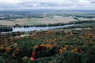
Holyoke Massachusetts was one of the first planned communities in the United States. Factories and papermills took advantage of the nearby Connecticut River and the city boomed during the Industrial Revolution. Much of the original industry left the city, leaving behind a densely developed urban core. Today the city is undergoing a new period of growth and redevelopment and Holyoke needs to incorporate climate resiliency adaptations in their regulations.
Solution
Our team was contracted by the city to analyse how impervious surfaces are impacting the community and to develop innovative regulatory strategies to mitigate these effects. Impervious surfaces found in urban centers such as roads, parking lots and buildings inhibit the natural absorption of rainfall and stormwater runoff. These impervious surfaces also contribute to combined sewer overflows, poor air quality, urban heat islands, and localised flooding. By joining diligent research with GIS spatial analysis methods, our team developed a set of weighted metrics that identified priority areas in need of mitigation.
Impact
Against that spatial analysis we examined existing land use, zoning regulations and stormwater ordinances. We were able to identify how the regulations required to be strengthened to make a real impact in the city’s neighborhoods using interactive, web-based tools such as an ArcGIS Online Story map and a locally tailored survey, our team was able to communicate with the public and collect feedback from residents, while being mindful of the concerns and restrictions in place due to the Covid-19 pandemic.