Land Surveying
SLR provides geomatic surveying, offering our experience in a wide range of industries for topographical, hydrographic, and building surveying services. Our surveying services extend to reach various industries, including energy, waste management, planning and development, civil engineering, and construction.

Overview
SLR’s survey teams are strategically based, and utilise a selection of surveying equipment, including GPS satellite surveying, RPAS drone surveys and imagery, robotic total stations, traditional total stations, and boat surveys using depth and location detectors.
- Topographic Survey – SLR’s team undertake topographic surveys for a wide range of developments including those related to infrastructure, energy, waste management, planning, and development.
- Development Surveying – use of topographic and hydrographical surveys in the provision of land management, planning, permitting and other land management activities.
- CAD, 3D Ground Modelling and Design – SLR uses a variety of industry standard packages to produce drawings for a variety of requirements such as elevation detail and cross sections.
In addition, SLR services major national surveying contracts for clients with specific requirements, from site surveys, setting out, void volume calculations, and design.
Get in touch with our Land Surveying teamLand Surveying Projects
-
-

-
-
-

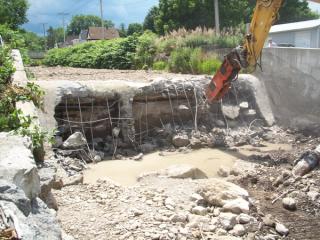
Cove River tidal marsh restoration, pedestrian bridge and Sea Bluff Beach park improvements
Read more -
-
Our Team Includes
-

Michael Mansfield
Manager of Land Surveying
-

Arjun Sharma
Associate Land Surveyor
-

Gregory A. Szyszkowski
Principal Land Surveyor
-

Gareth Hicks
Principal Land Surveyor - Geospatial & Data Solutions
-

Peter McGown
Technical Director, GIS and Information Services – Asia Pacific
-

Clayton Hill
Technical Director, Construction Materials & Services - Asia Pacific
Get in Touch
We're here to support you in Making Sustainability Happen. Get in touch for a collaborative discussion about what that could look like for your organisation.
Our locations